Tool
Live UK offshore helicopter tracking.
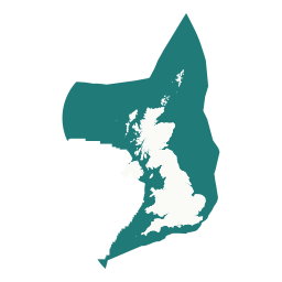
Track offshore crew-change helicopters across the UK Continental Shelf in near real time — North Sea, Irish Sea, and English Channel — including Aberdeen, Sumburgh, Norwich, and Humberside shuttle traffic, with live positions, operators, altitude, and flight trails.
What it shows
- Live positions for the rotorcraft types used on UKCS crew changes: Sikorsky S-92 and S-76, Airbus H175, H155, H225, and AS332, and Leonardo AW189, AW169, and AW139.
- Operator inferred from the callsign, plus registration, altitude, groundspeed, and heading.
- Flight trails for the past hour, fading with age, drawn straight onto the atlas alongside fields, wind farms, and infrastructure.
- Traffic is filtered to UK waters and the main onshore heli bases, so police and air-ambulance flights over cities are excluded.
Offshore heli bases
Coverage and its limits
Positions come from ADS-B transmissions picked up by volunteer ground receivers. Reception is line-of-sight, so a helicopter cruising at 3,000 ft typically fades around 65 nm from the nearest receiver. Gaps in the middle of an offshore route are normal and expected, not a fault.
Rather than hiding that, the tracker keeps a faded aircraft on screen as a signal-lost entry. For up to five minutes after the last confirmed fix it shows a dead-reckoned estimate from that fix's track and groundspeed, drawn grey and hollow with an "est." label; after that it freezes on the last confirmed position, and drops the aircraft entirely after 45 minutes without a report. An estimate is never presented as a confirmed position.
Coverage is also thinner at weekends and overnight, because offshore crew-change shuttles fly mainly in weekday daylight hours.
Source and licence
Live aircraft positions come from adsb.lol, a community ADS-B aggregator, and are made available under the Open Database License (ODbL) v1.0. The same data is available from the atlas API at GET /api/helicopters.
Not for navigation, flight following, or operational use. This is a public-interest view of open ADS-B data, not an operational tracking service.